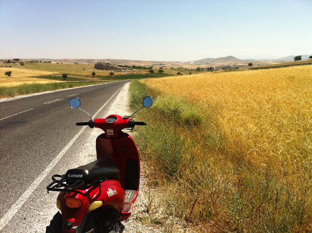
We knew what we wanted to see, we made a plan, and we executed it. We hired a little scooter, and got ourselves a map. A map that somehow didn't correspond to actual roads, and nearly led us to giving up on finding anything and throwing in the towel. Thankfully at our third attempt, and after about one hour of driving, we finally managed to get the right road and we were on our way to an underground city. It was worth it. Along the way we stopped in the country side for a quick rest break, waved to some farmers passing on their tractors, and reconsulted the map to make sure we were still going in the right direction. All was well. Here are the photos!
It's incredibly hard taking photos with an iPhone in a very dark space, and these shots are the best we managed!
Here are just some more stunning viewpoints we drove to.
These next couple of photos were taken on top of an ancient castle in Uchisar, the highest point in Cappadocia.
Some delicious looking dried apples at the entry to the castle in Uchisar.
Our map clearly got a good workout.
And here is the view we had of all the hot air balloons going up the next morning when we left (bright and early at 5.45am).
I love Cappadocia (or rather Kapadokya) and hopefully will return one day...with enough money to ride in a hot air balloon.


No comments:
Post a Comment